Garmin eTrex 10 Review: An In-depth View of this GPS
No hiking website would be complete without a Garmin eTrex 10 review. This handheld GPS has many pros and few cons, and comes at a price that makes it appealing to both first-time and seasoned hikers. A valuable member of the hiking equipment packing list, this eTrex 10 has been available since 2005 and, in my mind, is a candidate for the best gps for hiking award.
Whilst not the most advanced of devices the eTrex 10 has all the functionality that most hikers will ever need. Built in are features such as advanced track navigation, geocaching, a simple to configure waypoint tool, and more.
So, let’s see what it’s all about.
This handheld GPS is not ruggedised, but that doesn’t mean it’s a fragile and easily broken device. The casing is incredibly durable and, in my experience, has proved itself more than capable of handling some real knocks and scrapes.
The body of the device is made from plastic, but by no stretch of the imagination does that mean it’s fragile. The casing is fairly thick which makes the eTrex10 a tough device – I’m pretty clumsy at times and, so far, I’ve failed to inflict serious damage. The bulk of the electronic intestines are mounted on small rubber grommets which act as shock absorbers. This makes it exceptional at shrugging off everyday wear and tear that comes with hiking, and trekking major expeditions.
My garment eTrex 10, is complete with a few scars.
The eTrex 10 has only three buttons and a joystick. The buttons are used as part of the menu system, powering the GPS on and activating the lighting. The joystick, which some people can find quite fiddly, is used for navigation of the menu system as well as typing.
Buttons
The buttons have a nice feel to them – activating functions requires a decent amount of pressure and, in return, you get feedback in the form of an audible click and rather satisfying clunk. To prevent any water ingress, or at least reduce the possibility of moisture reaching the electronic innards, each of the buttons is rubberised. In addition to moisture protection the rubber casing provides more grip when your hands are damp or cold.
The joystick is intended as a means of moving swiftly through the menu system and configuring the device. Personally, I find this quite fiddly. I spend an awful lot of my time in very cold places and the joystick isn’t always the easiest to use when your hands are very cold, or you’re wearing gloves.
The battery compartment is easily accessed using a small twist lock. Garmin eTrex 10 is powered by 2 AA batteries (I highly recommend you buy rechargeable for your device). Like the buttons, the battery compartment is rubberised and a small seal around the inner rim of the hatch helps prevent water or moisture getting into your GPS and destroying it.
Wear and tear are always considerations when buying this sort of device, but I’ve never seen the rubber seal fail and I’ve never replaced it. Hats off to Garmin.
The screen of the eTrex 10 is incredibly tough. We’ll cover usability shortly, but for now let’s just say that whoever designed this device really knew what they were doing. I’ve hiked long-distance with this GPS, it’s been dropped repeatedly and on more than one occasion it’s fallen a considerable distance. On one occasion, whilst hiking in the Brecon Beacons, I was scrambling up Jacob’s Ladder on Penn Y Fan. My jacket pocket wasn’t fully zipped closed and my eTrex fell out and disappeared from view. I later found it about 70 feet below the summit, resting on a ledge and with not a scratch or dent in sight.
Small scratch on the body of my eTrex 10. Thanks Pen y Fan, thanks Garmin.
I like to kid myself that the engineers and designers of this device invoked some kind of dark, technical magic to create an incredibly tough device the shrugs off everything nature and careless hikers throw at it. The reality is much simpler: Garmin have kept it small, rugged and simple.
Another example of the durability of the eTrex 10 can be found in a recent skiing trip to Norway. I was travelling about 250 km across the Norwegian regions of Finse and the Hardangervidda. On one of the legs I stopped to check my map and cross reference the waypoint showing on the GPS. Once happy with my location I continued am on my way. At the next checkpoint I reached for the zipper of one of the pockets on my shell jacket and found it open – and my eTrex gone. That was a very sad moment, as, at that point, the eTrex and I have been together for several years and it felt like losing an old friend. I had to crack on. Fortunately, I had a backup in the form of my Garmin InReach Explorer+.
Two days later, after a considerable amount of time isolated from pretty much the rest of the human race, I ran into the Norwegian guy who had been staking out trails across the ice. We chatted for some time and, being a little saddened at the loss of my GPS, I recounted the story of my loss. At that point, this guy put his hand in his pocket and pulled out a small, yellow and black object- my eTrex. He told me that he had been travelling on his snow scooter and had paused for a drink when he noticed something caught in the teeth of his scooter’s tracks. The alien object was my GPS.
For anyone not familiar, a snow scooter, or skidoo, is propelled by a large rear track like a tank track. The teeth are made of a combination of metal and rubber and it’s a miracle it survived being rolled over a very heavy piece of equipment.
Hopefully, you can now see how tough this GPS is. Hopefully, I don’t need to write any more about the durability as it would only be a case of preaching to the converted.
The power button is mounted on the top right of the body. To turn on the eTrex 10 simply press and hold for a couple of seconds. If you are worrying about this being accidentally switched on, don’t. You don’t have to press hard, but chances of you accidentally powering on the device are incredibly remote. I’ve been on numerous trips and never once managed to achieve this feat.
The eTrex 10 GPS Menu System
Externally the Garmin eTrex 10 is incredibly simple, the same can’t be said for the menu system.
I said I’m going to give you a proper review to read and I’m gonna stick to my guns. The menu system is, at best, horrible.
Once you switch on the device you use the joystick to access the settings of functionality by pressing down on the top of the joystick until the field click and see the screen change. At this point you’ll be presented with a menu the size of Western Europe!
In a moment I’ll give you a brief rundown of each of the features and how you can use them. For now, it’s needless to say that the vast majority of the functionality you’re never going to use, unless you’re a serious long-distance trekker and even then, I doubt you’ll use the glut of capabilities. At the same time, it’s good to have the options but I feel that many of them should be hidden away from every day use so as not to confuse or intimidate first-time GPS buyers.
In some ways it feels as if Garmin have attempted to make the ETrex everything for everyone. Here’s an example: one of the features built-in to this GPS device is aimed squarely at nautical activities. Which is great if you own a boat and he regularly sales around the world. But not so great for a product aimed squarely at the hiker’s marketplace. After all, how many hikers do you know who haul yachts behind them as they roam through dark Woodlands and over huge hills?
The three main areas of the navigation system of the ETrex that I use are: bearings, white points and routes. I’m going to cover each of these in detail shortly but for now, I just like to skim across some of the other functions that you can use on this GPS device.
The Sunrise/Sunset Feature
I think I’ve used it once in the whole time that I’ve owned this device. It’s not that the sunrise and sunset reports are inaccurate, simply that I have never needed this function. If it’s getting dark I go to sleep, if sunlight is prodding at my eyelids I wake up! Simple.
Some hikers will have a use for this feature. I don’t.
Man Overboard
Great if your mate has just jumped into the ocean, an event I rarely encounter. I’ve never used it.
Moving on, let’s look at the features that are used a lot.
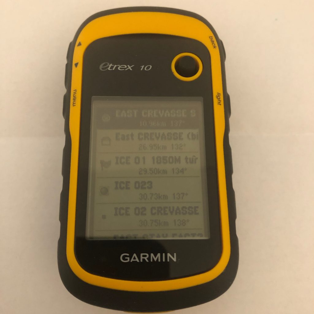
GPS Routes and Waypoints
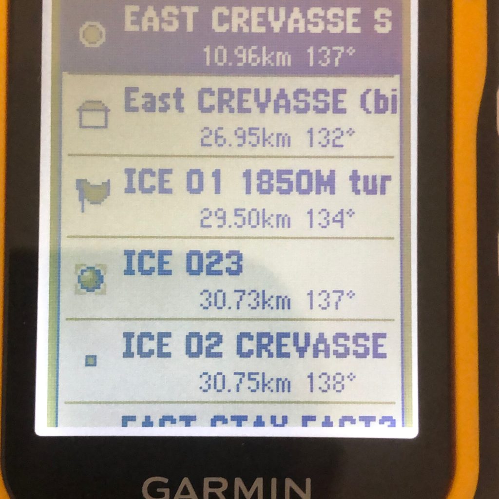
Pretty much every GPS device allows you to enter a route which can then be followed stage by stage. Most devices also feature an alarm that can be set to notify you when you’re within a certain distance or proximity of the waypoint. Garmin has had this feature for many years.
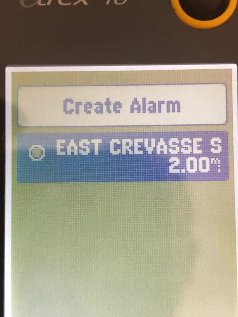
The problem I find with Garmin eTrex is that, even though I find the routes feature incredibly useful I don’t particularly like adding them manually. Seriously, it’s a real pain. Setting up the routes is done using the joystick and clicking through an alphanumerical system to set every single waypoint.
But as you expect there is a way around this. You can use the eTrex’s data cable to quickly move pre-configured routes between the unit and laptop, and vice versa.
Alternatively, you can use Garmin Basecamp, a downloadable app, can be used to configure and import routes. Easy!
I regularly use the waypoint function and found it so useful that I used it to map my journey across Greenland.
The Digital Compass
Nothing beats navigating with a map and compass but sometimes for ease-of-use it’s much simpler to use the magnetic compass built into the Garmin eTrex 10.
My preferred method when hiking is to use a map and compass to calculate the bearings and then transfer them to my handheld compass. In environments where map reading is all but useless e.g. on the Arctic ice, I used the Garmin’s built-in compass and pick out visual references towards which I’ll travel. The eTrex 10 compass is highly accurate but I would never tempt you to use it as a replacement for a handheld campus.
Battery Life
About 400 years! Joking aside I haven’t changed the batteries very often. This GPS doesn’t feature or have a rechargeable battery pack, instead, it relies on two AA batteries for power. I’ve moved to using rechargeable power cells, if only for environmental factors.
Before the switch, I always used disposable batteries and in 2018 I changed the batteries twice. That’s not bad considering I used it when I crossed Greenland and after hiking nearly every weekend of the year.
The key factor in extending battery life is how long the device is in use. I always use it sparingly and usually as a backup to my compass.
eTrex 10 GPS Accuracy and Functionality
Considering the eTrex 10 is a second-generation service, it’s still incredibly accurate. In a side-by-side comparison with an InReach Explorer + and a Garmin 64, the accuracy has proved to be nearly as close to the mark as some of the most modern and powerful devices on the market.
The means of testing was to take all three units to a known spot height and then take a reading. My eTrex 10 is over 5 years old and still the readings were within a few metres of those shown on the newer navigation aids.
Acquisition of the low orbit satellites is slow, but only when cold. I tend to put my Garmin to sleep whilst on the move, waking it up only when I stop to do a nav check. Nearly every time it comes out of hibernation and re-establishes connectivity within a minute. Only when the temperatures are cold – at or under -20C – did it take longer to acquire the uplinks.
The eTrex 10 needs to lock onto 6 satellites to give an accurate grid reference. This process can take up to two minutes when the device is ‘cold’. I know this figure might be a bit too much for some people and I do agree that it’s a little slow… if you’re part of a mountain rescue team. If not, the two minutes or so that acquisition takes are trivial.
External Connectivity
Most modern navigation gear can be controlled and configured using a smartphone, tablet, or app. Garmin has some truly awesome tools to support their devices: simple upload of routes, online mapping that allows followers to trace the steps of your journey, data download to PC/Mac, etc.
The eTrex 10 has none of these capabilities! As I said at the start: the eTrex 10 is an incredibly handheld GPS. It is possible to connect the device to a computer to upload and download routes, but there are no smartphone apps available to configure and control this GPS. All the work is done with Basecamp for PC and Mac.
This might disappoint some of you and that’s understandable. But this review is nothing but honest.
If you need a device that can be controlled by your smartphone, tablet, etc, then you can expect to pay a good deal more than the £90 ($110) or so that this device costs.
The eTrex 10 comes with a data cable that can be used to transfer data from the device to a computer, and vice versa. Moving data back and forth is pretty quick – it took about 3 seconds to upload a 600km route across Greenland I’d plotted.
A Quick Thought: Is The eTrex 10 The Best Handheld GPS?
No, it isn’t the best handheld GPS, but it is one of the easiest to use devices a beginner can get their hands on. I’ve used many satnav tools over the past 20+ years, and the eTrex 10 is my go-to when I need a simple, effective Garmin navigation aid that has good battery life, is durable and takes up very little storage space.
Garmin eTrex 10 Review: The Round-Up
As basic GPSs go, it’s a great device. You get quite a lot for your money.
In summary:
The positives
- Small, compact and very tough
- Stellar battery life
- Simple to use
The negatives
- No apps for configuration
- Joystick can be difficult to use if you are wearing gloves or, like me, have huge club fingers
If you’re in the market for a new GPS and this model fits your needs you can buy it at Amazon.
Time to wrap it up. If you found this Garmin eTrex 10 review useful then please link to it or share on social media. Before you head off, check out Compass Dude’s in-depth map and compass tutorials. I can’t emphasise enough how important these skills are. And, as always, happy trails. And if you do buy this device make sure you check out our guide on how to use the eTrex 10 – you’ll be up and running in minutes.